
Physically-based fire science
Built on the Canadian Forest Fire Behaviour Prediction System, not a statistical curve-fit to past fire seasons, so results stay stable under changing climatic conditions.
Canada's most advanced wildfire risk dataset: physically-based burn probability, intensity, and footprint data built on 30M+ simulated fires, helping insurers, governments, and industry assess and price wildfire risk with confidence.
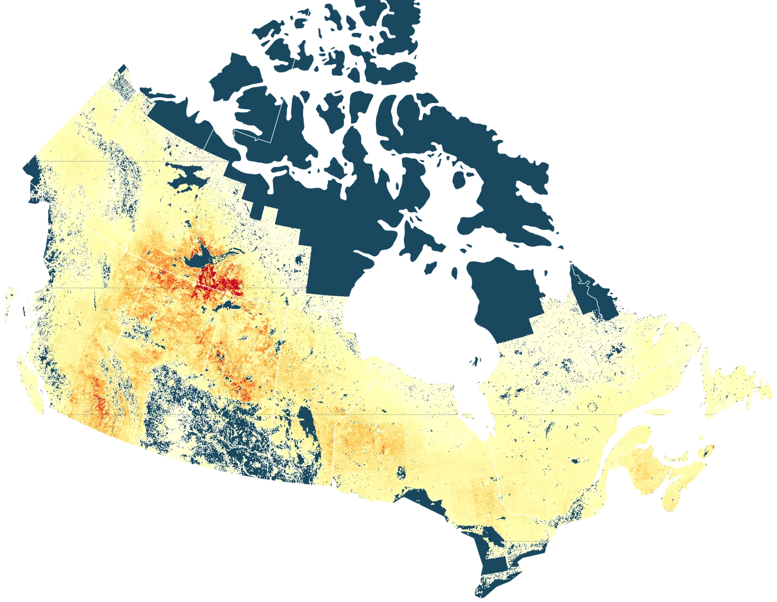
simulated wildfires
modeled fire-seasons per region
resolution, down to 1 m in the wildland-urban interface
climate pathways, bi-decadal to 2100
Five reasons risk teams choose a physically-based model over a statistical curve-fit.
Built on the Canadian Forest Fire Behaviour Prediction System, not a statistical curve-fit to past fire seasons, so results stay stable under changing climatic conditions.
A Monte Carlo framework that captures the full range of plausible wildfire activity, not a single deterministic forecast.
Granular wildfire insight for any location, urban, rural, or industrial, with resolution down to 1 m in the wildland-urban interface. Built-in exposure and vulnerability modeling estimates building-level loss.
Historical baseline plus SSP1, SSP2, and SSP5 climate scenarios across four bi-decadal intervals, built for adaptation and long-range risk planning.
Available via API and data exports for underwriting, planning, and enterprise risk-modeling workflows.
See how Wildfire 3.0 fits your underwriting, planning, or portfolio workflow.
Request a DemoStandard cellular-automata fire models systematically underestimate the size and shape of fast-moving, high-wind fires. Our proprietary Cell2Fire2 engine corrects this bias without sacrificing the simulation speed needed to run tens of millions of fires.

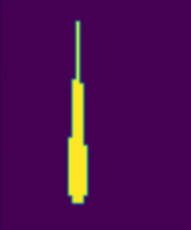




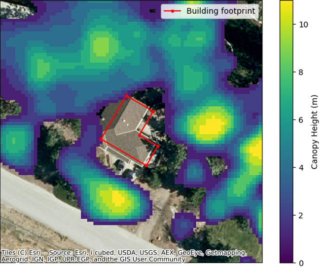
In the wildland-urban interface, Wildfire 3.0 works down to 1 m, showing how close fuel sits to each building. Defensible space is derived from ultra-high-resolution canopy height data, or you can supply measured values for individual buildings.
Risk assessments at 250 m resolution, down to 1 m in the wildland-urban interface, delivering:
Physically based fire behavior modeling combined with probabilistic ignition and weather simulation:
Integrates into insurance, financial, and municipal risk frameworks through:
Hazard and loss products are available for the historical baseline and for each climate pathway where applicable. Daily products reflect current conditions.
We keep calibration and independent validation separate, because they answer different questions.
Fire Weather Index and Spread Event Day parameters are tuned against 11 years (2010–2020) of satellite-observed burn area from Canada's National Burned Area Composite (NBAC).
In the 2025 Canadian wildfire season, the locations Wildfire 3.0 ranked as highest-risk were among those subsequently affected by fire.
Wildfire is a stochastic process. We recommend evaluating model performance across multiple seasons rather than any single year's fire activity.
Improve underwriting accuracy and loss projections
Enhance wildfire preparedness and response strategies
Assess site-specific wildfire exposure
Evaluate asset-level climate risk impacts
Evaluate wildfire exposure at operational sites
We update the underlying model every few months as new data and methods become available.
Get in touch about our roadmap“This collaboration with AISIX enables us to assist our clients with wildfire risk intelligence that supports asset-level exposure analysis and scenario-based planning.”
Edward Olson, Partner, MNP